|
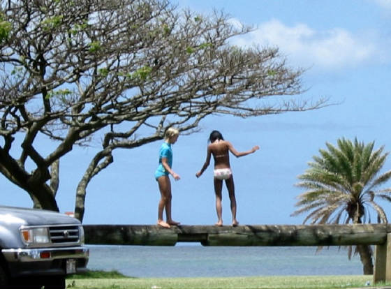
On 4-16-05, intrepid swampers Isabella and Ray set out with coconut trees. We
were going to retrace and mark the first "beachwalk" made by Jim and I back on 2-24-01. That trip was a piece of cake, almost
like walking through a pasture. We exited on Kaika Pl (see map below). So on this trip with Isa, that was where we started.
MapQuest shows you the street names. The Kaika Pl route is longer, but the people
we met were friendly, and I think would say it was OK for us to quietly tromp through their yard every once in a while. The
shortest way was on the next street, Walikanahele, but we did not meet anyone there.
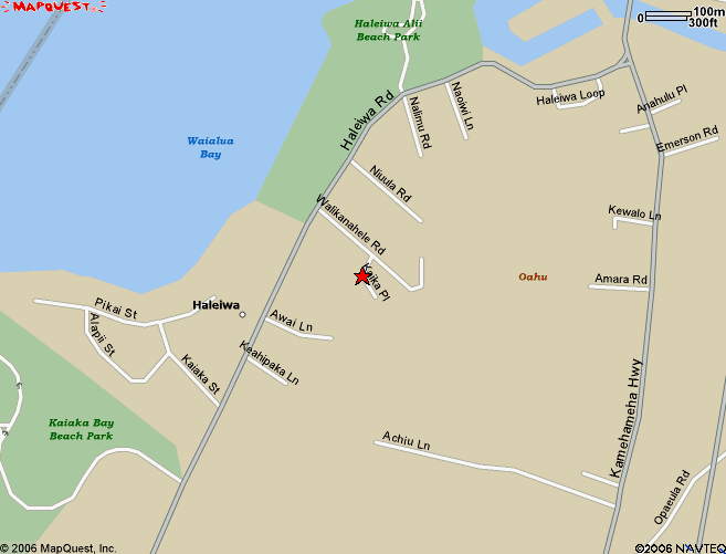
At the end of Kaika Pl, there are multiple driveways. I took the left fork. The
house on stilts is a landmark you will see later when we look across the swamp from our lot.
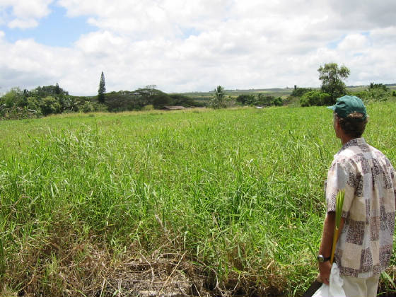
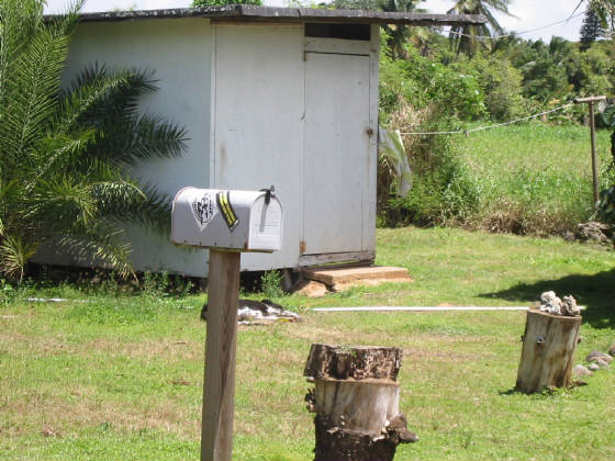
Here is the gap that would be our most likely access.
From the edge of their property, it is not obvious where to go, and the ground
is wet. Our lot is toward the far left of the picture. Note the monkey pod tree with a Norfolk Island pine "in" it from this
view and the view below from closer.
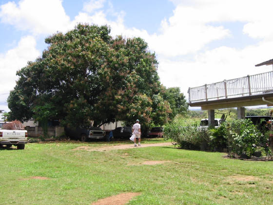
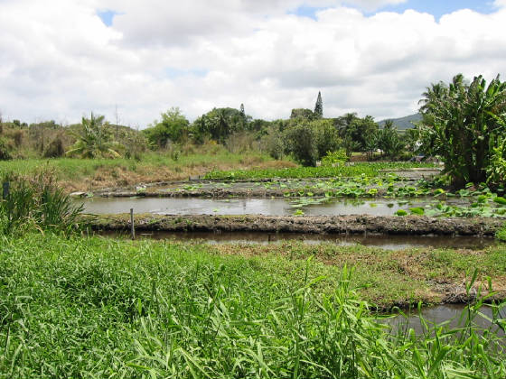
This view (from neighbor Robert's lo'i) is from where I planted a coconut tree.
On any swamp walk from the beach we'd want to swing wide of the lo'i. Note how clearly you can see the coconut tree on our
lot, so these should be good landmarks in a few years.
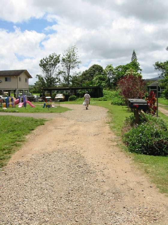
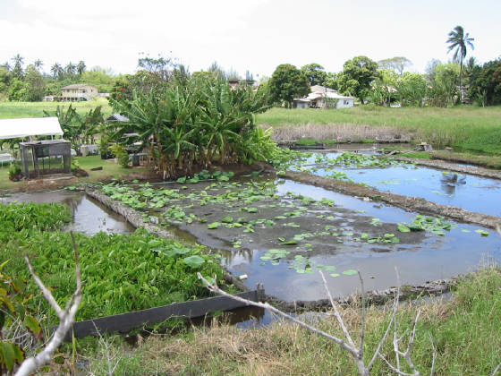
From our lot, up in a tree, you can see the lo'i we'd be walking around. In the background, on the left you can see the
house on stilts at the end of Kaika Pl, and on the right the much closer white house and a mango tree to its left. This is
on the hook on Walikanahele St. Our shortest walk with a possible access is just to the left of the mango tree.
Now let's go back over to the beach side, and go to the end of the other street,
Walikanahele. The most encouraging thing is that you can clearly see the coconut tree on our lot, and it is close.
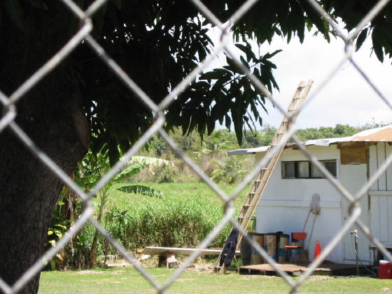
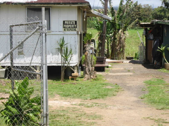
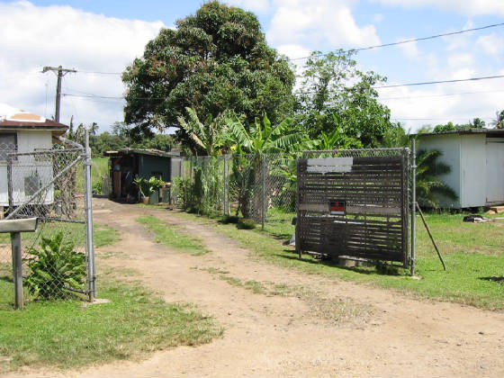
The most discouraging thing is that from the fences and signs it appears these
neighbors have had some bad experiences with previous swampers.
Our best access is probably this little opening. I'll be finding the owners and
asking permission soon.
Same as above, just back a little so you can see the mango tree and where the
opening is, which is next to 184A-1 Walikanahele St.
The newer houses on the street are built to modern code (tsunami - ready). (One of the reasons we have to wait so long
to build our house up on the trees is to get this kind of clearance underneath the house.)
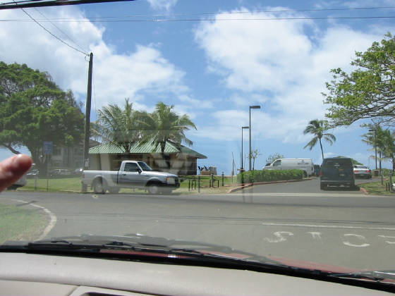
As you leave Walikanahele, you are at the far end of the beach park, which has
a new beach bathhouse. The surf break and older bathhouse are off to the right.
The park entrance you would use to go surf at Haleiwa Alii.
A beach access would be the best balance for us - good for a surf, shower, etc.
after hard swamp work.
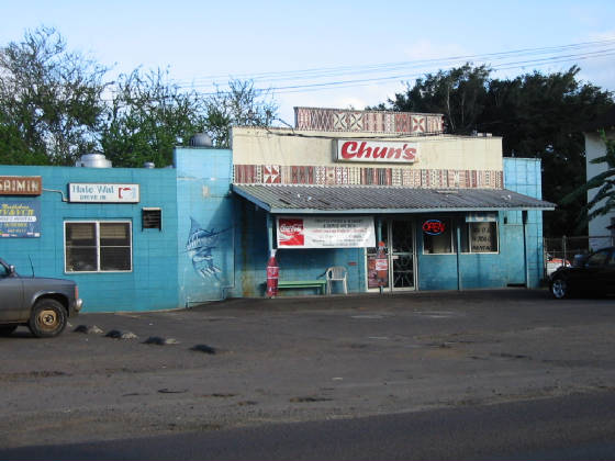
Then a fine loco moco lunch, with freshly made kim chee salad at Hale Wai (just
down the beach road towards Kaena Pt).
Quick link back to the last page - if you want another look at the aerial shots
Link to next page in report - Postcard report - from here on out it is financials and accounting
|